Drone Mapping Applications
Plant Agriculture
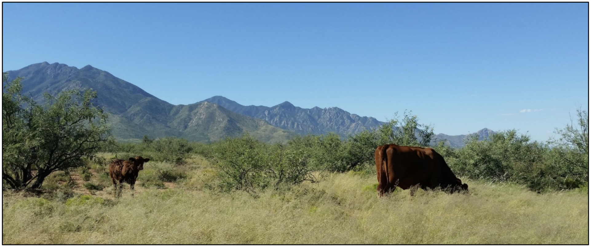
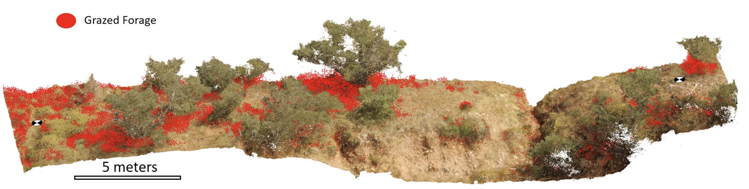
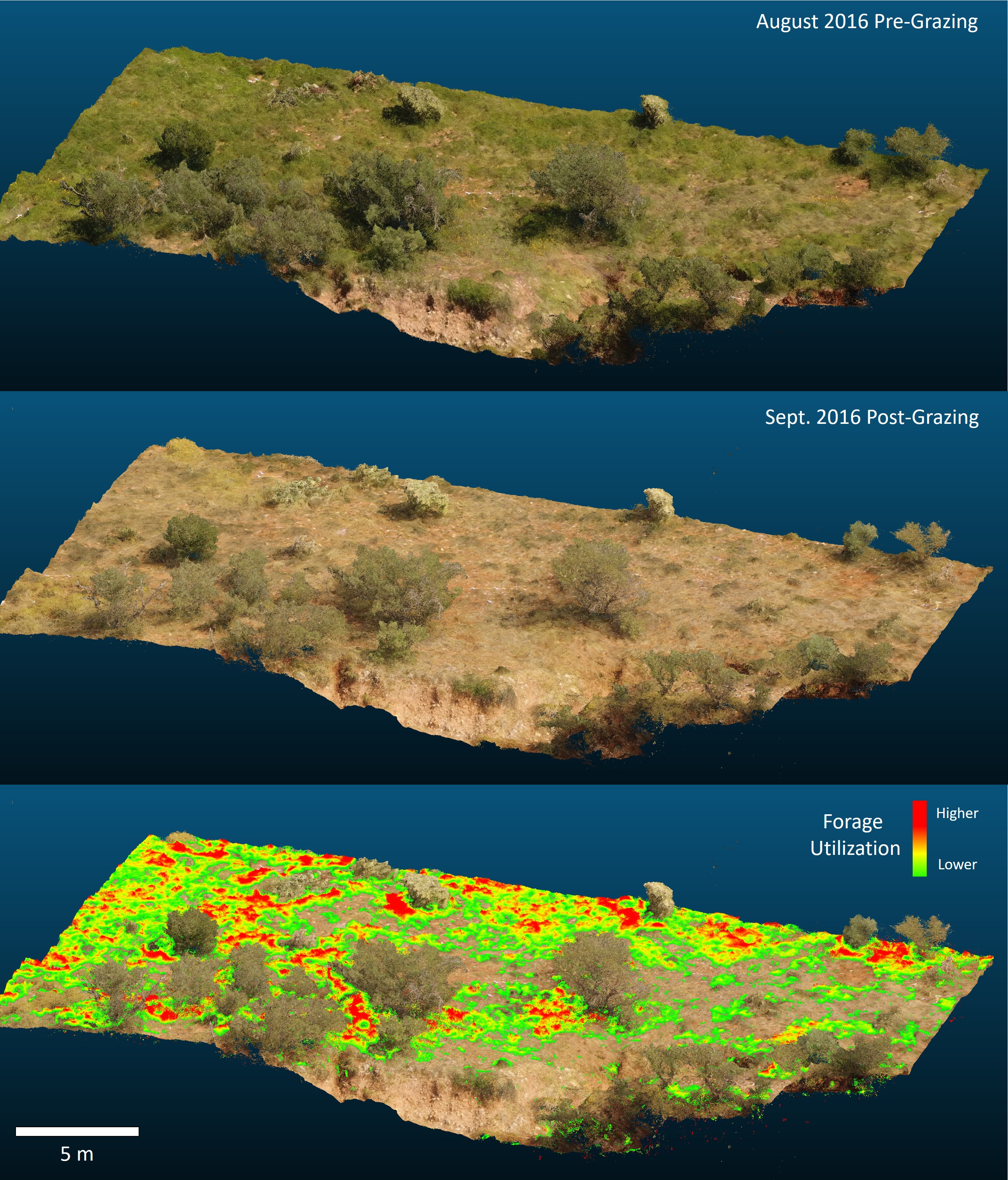
Rangeland Management
Drone imagery mapping can provide many types of data useful for rangeland management and monitoring:
- Vegetation cover and composition
- Estimating forage utilization
- Calculating percentage of bare ground and size of canpy gaps
- Estimating forage and woody biomass
Examples From the Literature
Integrating drone imagery with existing rangeland monitoring programs
Innovations to expand drone data collection and analysis for rangelands
A pilot study to estimate forage mass from unmanned aerial vehicles in a semi-arid rangeland
Construction
Civil Engineering
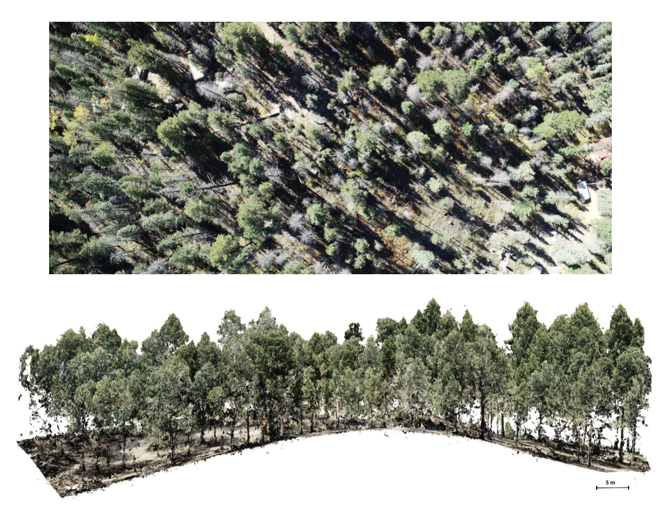
Forestry
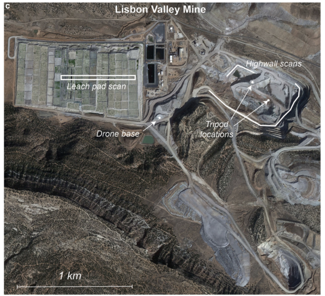
Mining
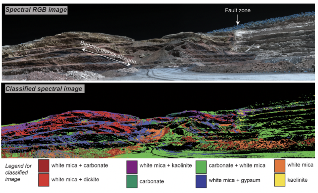
Geology/Volcanology
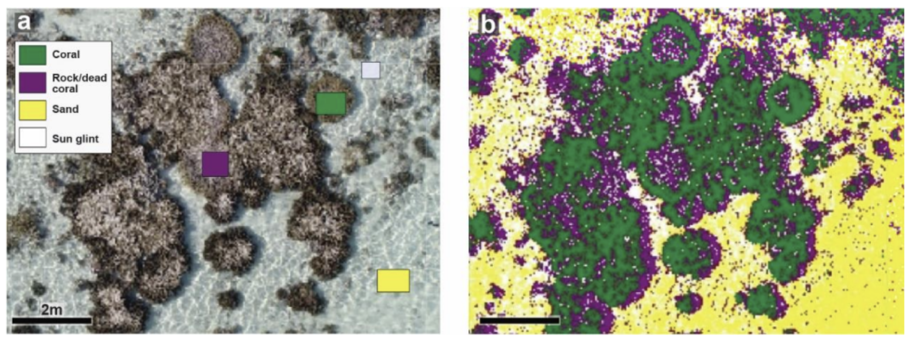
Marine Environments
Rivers & Wetlands
Topographic Change
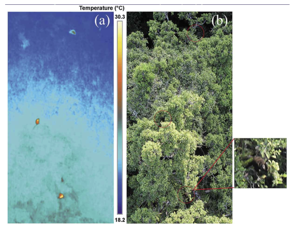
Wildlife Surveys
Archaelogy

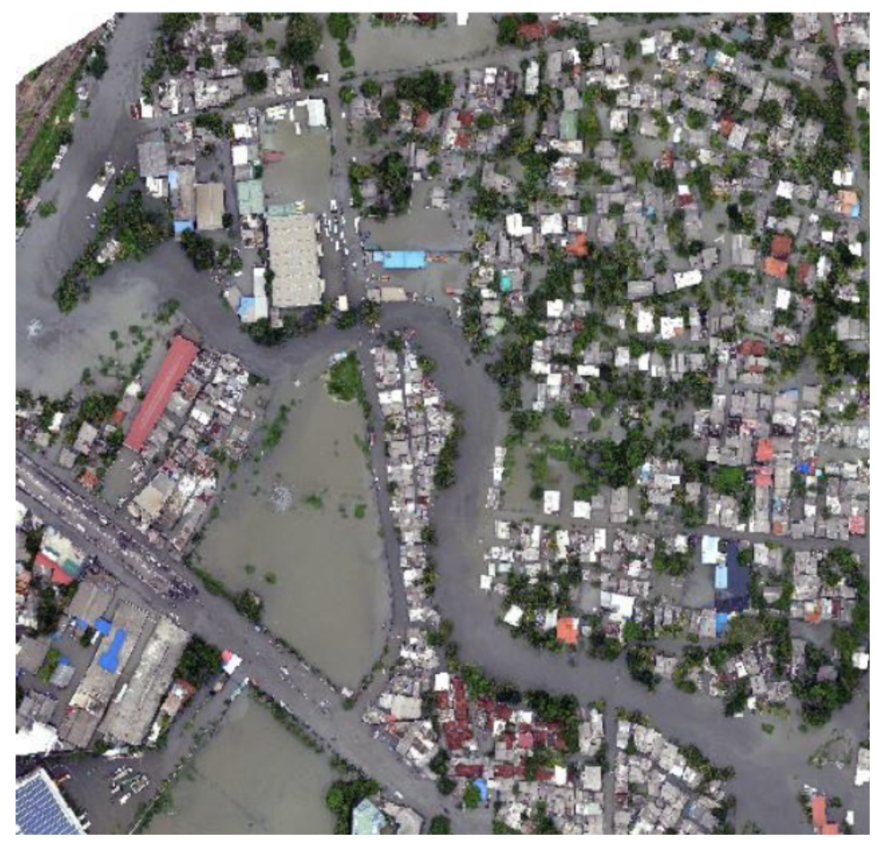
Disaster Management
Last update:
2023-08-18