Flatgeobuf
Cloud-Native Vector Format?
There are a few different vector formats that are used to represent spatial data across the web. Many are in active development to be considered 'cloud-native' (i.e., streamable across http). None have acheived wide adoption yet. For a great description on cloud-native vector candidates check out this blog by Chris Holmes.
Here are some of these vector formats:
Flatgeobuf
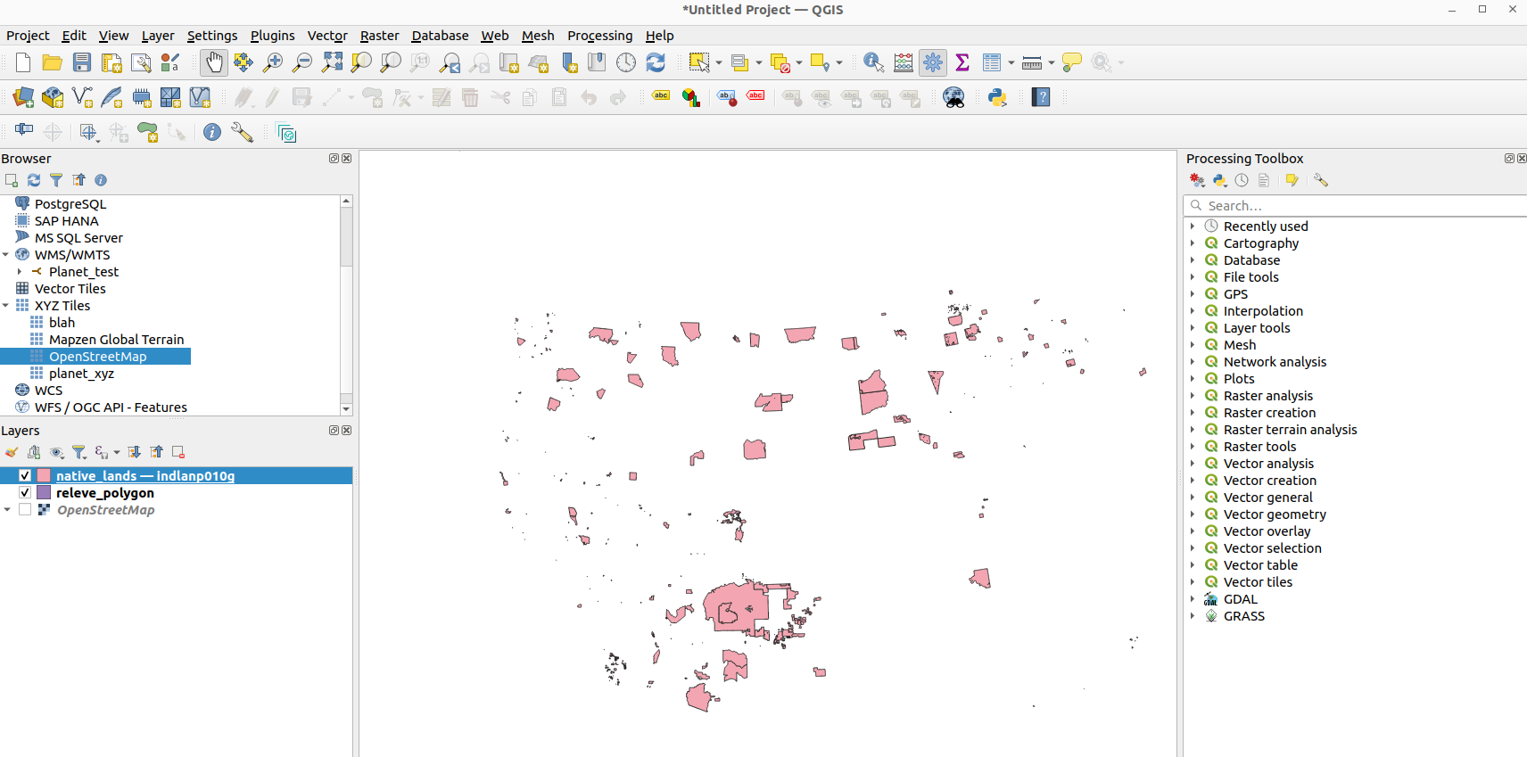
I have an example Flatgeobuf file located here in Cyverse Data Store. It represents native lands in the USA. You should be able to stream this file in QGIS or ArcGIS Pro.
Create a Flatgeobuf file using GDAL
For installing and using GDAL see this guide.
ogr2ogr -f FlatGeobuf -lco SPATIAL_INDEX=YES -nlt PROMOTE_TO_MULTI native_lands.fgb indlanp010g.shp
Check out this blog to learn more on the technical details of Flatgeobuf.
GeoParquet
GeoParquet is a geospatial data format that is based on the Apache Parquet format. Parquet is a columnar storage format that is designed to be efficient for both reading and writing large datasets. GeoParquet adds support for storing geospatial (i.e., vector data with coordinate information).